Protected Area of Monteferrato An extraordinary nature between mountains, forests and distinctive geological landscapes
The Monteferrato area, covering almost 4500 hectares between the municipalities of Vaiano, Prato and Montemurlo, offers a great variety of environments and landscapes, forests, hilly agricultural areas and very particular geological formations for which it is also recognized as a site of conservation interest in community and regional level.
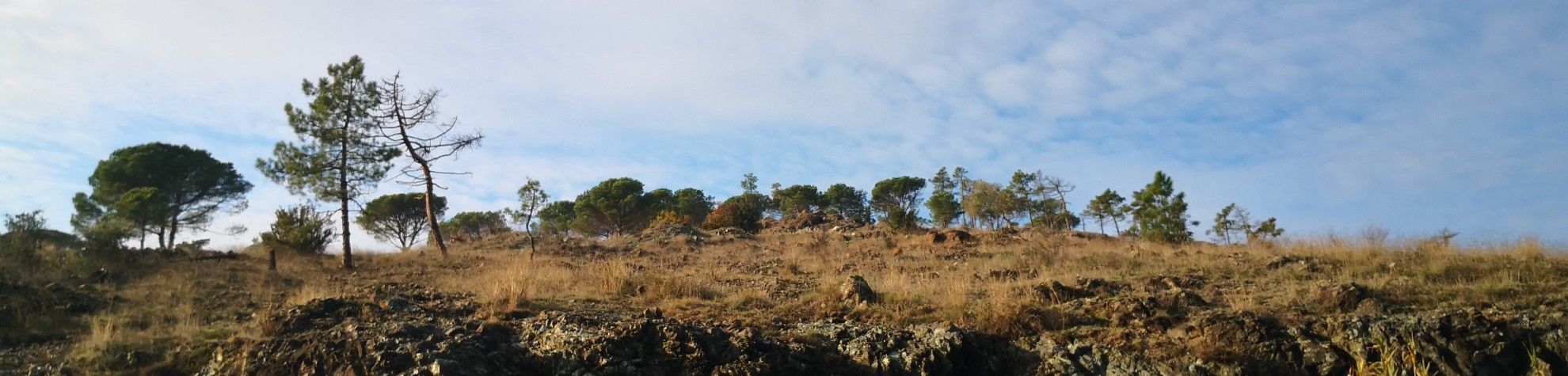
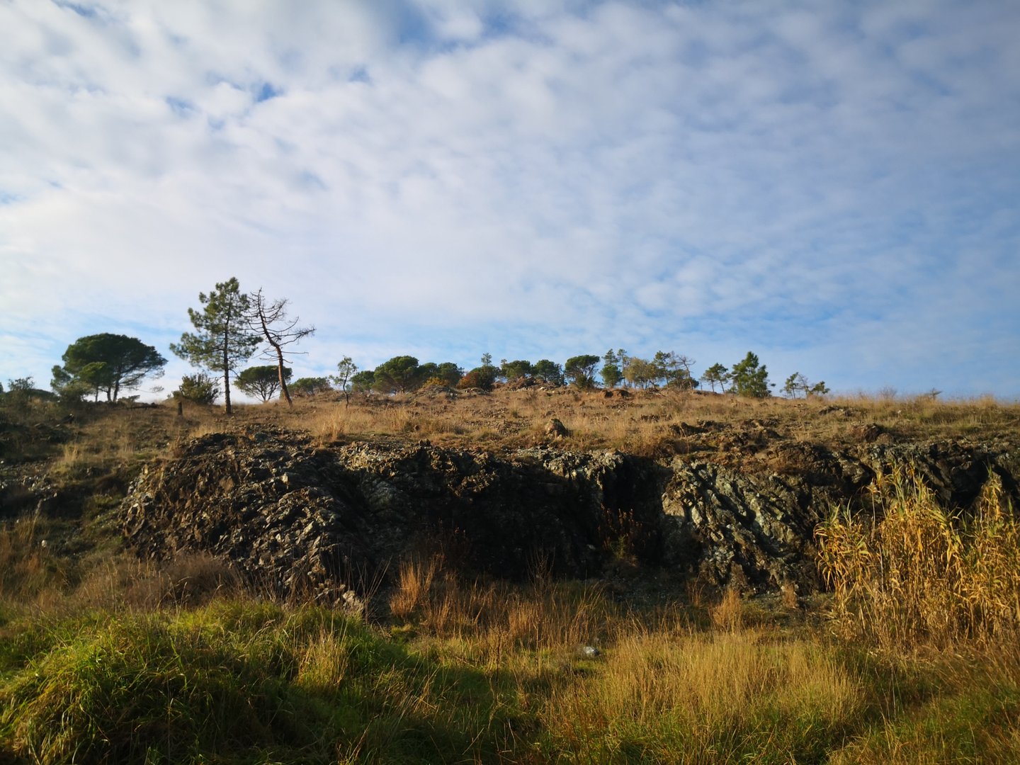
The area is immediately recognizable by the profile of the three peaks of Monteferrato - from which serpentine, the precious green marble of Prato, was obtained - which dominates the plain and whose particular nature has given rise to a selection of rare species such as wild orchids.
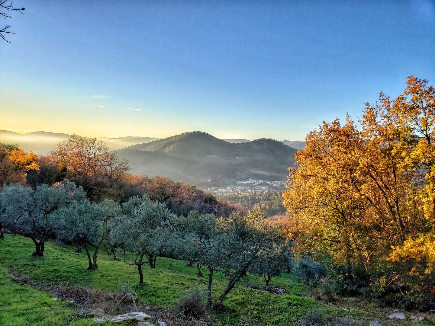
To the north of Monteferrato, near the Prato Tondo hill, there are large expanses of gorse (Ulex europeus), while towards the nearby Acquerino-Cantagallo Reserve the landscape becomes typically forested and Apenninic, with broad-leaved woods and splendid beech forests.
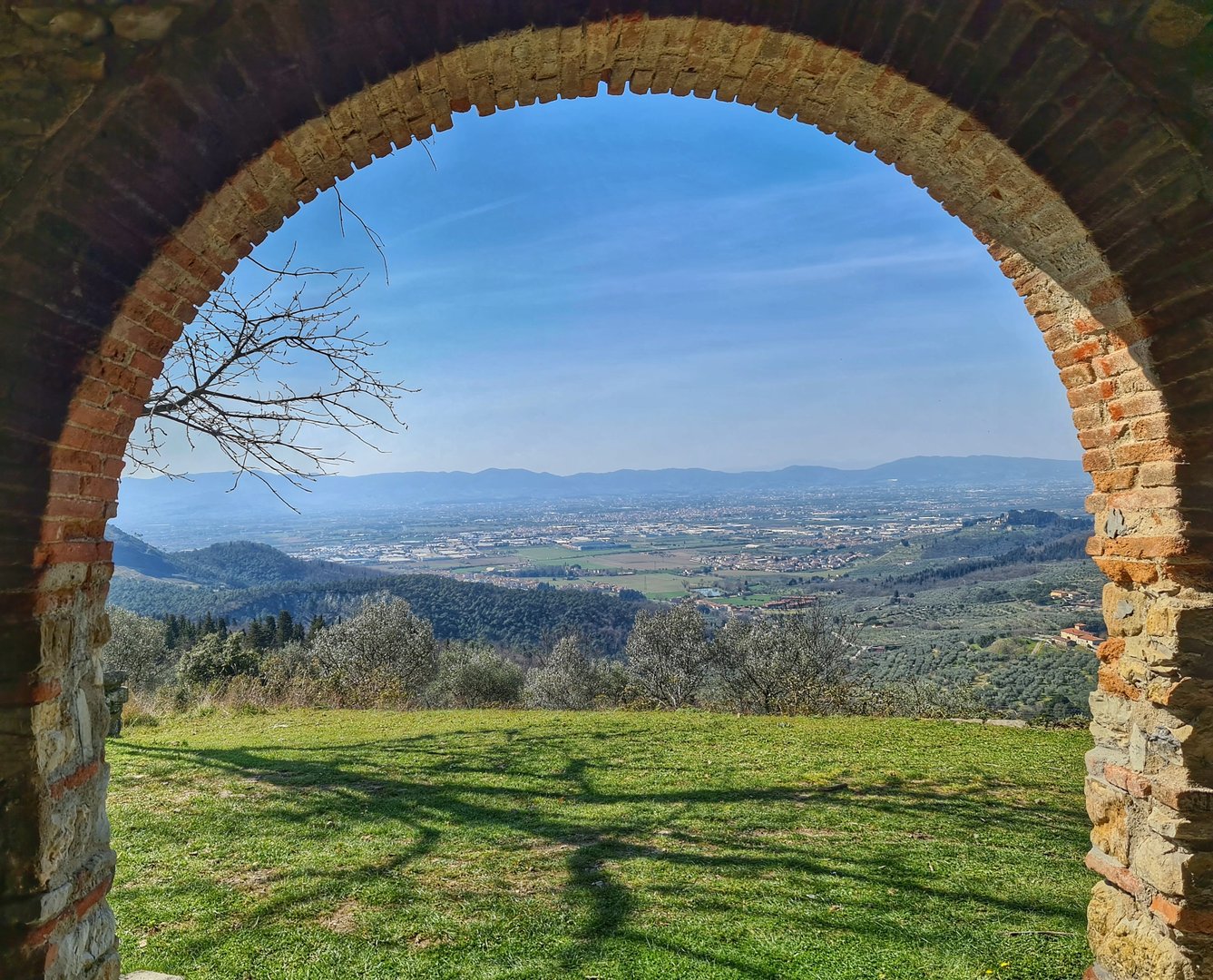
Overlooking the Bisenzio Valley, the eastern border of the area is marked by the sharp profile of Mount Le Coste, known as Spazzavento, a highly evocative panoramic point as well as the place that houses the Mausoleum of Curzio Malaparte.
Hiking routes Hiking routes
From the fortress of Montemurlo to the Beeches of Javello
The route passes through different types of landscape, from ancient villages rich in history, to agricultural landscapes until reaching majestic beech forests.
From Montemurlo along CAI path no. 70 you can reach the ancient village of the Fortress. The entrance to the village - where the Parish Church of San Giovanni beheaded is located.- through the Fattoio Gate is suggestive,
You leave the village crossing Freccioni Gate to arrive at Pian di Scalino. Continuing among the turkey oaks, you reach Mount Spicchio which, together with Poggio Becco, are the peaks from which you can enjoy a beautiful panorama. Once you arrive at the tabernacle, continue towards the Javello Farm. The route continues through chestnut, hornbeam and turkey oak woods, in the midst of which you can discover the ancient charcoal pit squares.
Mount Javello path
Starting from Vallupaia, through splendid chestnut and beech forests following the CAI path n. 14a and then 14, the itinerary leads to the summit of the mountain where the imposing Javello beech trees mark the ridge with the typical double row arrangement.
Walking time: 1 hour
Difficulty: medium (all uphill route)
Path of the Patriarchs – Mount Lopi
From the Visitor Center of Bagnolo, through a dense oak forest, the CAI path n. 12b leads to two oaks of spectacular dimensions, the “Patriarchs”. After crossing the Casaccia ditch ford you can reach Mount Lopi, a panoramic point over the valley of the Bagnolo torrent.
Walking time: 1h 15m
Difficulty: easy
Monteferrato path
The route crosses one of the areas of greatest naturalistic interest in the province, which is part of Galceti Park. Follow the CAI route n. 12 until you reach Poggio Ferrato, the highest peak in the area (420 m) and a panoramic point over the Prato plain and Montalbano area.
Walking time: 1 hour
Difficulty: medium (all uphill)
Spazzavento path
Spazzavento path is a journey between nature and culture, an hiking route that takes you to explore the footsteps of the renowned writer Curzio Malaparte along the evocative Malaparte Route.
Information
- Montemurlo (PO)
Accessibility for disabled: no
Website: http://www.areeprotette.provincia.prato.it/Monteferrato/Monteferrato.php
Typology: Nature and sports